
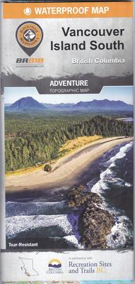
Vancouver Island South BC - Waterproof Map
This waterproof, tear resistant topographic map has 2 sides to the map at 1:180,000 and is loaded with features such as highways, logging roads, land & water features, parks, adventure points of interest, campgrounds, hiking trails, motorized trails, paddling routes, hunting & fishing areas, winter recreation and more. Areas covered include Bamfield, Comox, Courtenay, Cumberland, Duncan, Gold River, Ladysmith, Lake Cowichan, Nanaimo, Pacific Rim National Park, Parksville, Port Alberni, Port Renfrew, Qualicum Beach, Sidney, Sooke, Strathcona Park, Tofino, Ucluelet, Victoria and more.
This tear-resistant, waterproof map of Southern Vancouver Island is easy to use and carry on all your outdoor adventures. Our newest edition of the map includes industry-leading topographic detail, unparalleled road coverage and countless trails, rec sites, and paddling routes, along with labelled fish species and stocked fishing lakes and rivers. This map also features detailed descriptions of recreation sites and parks with information on camping, fees, activities, access and more.
- Industry-leading cartographic detail and topographic relief shading
- Enhanced private and leased land areas, including gates, to help you stay out of private lands
- Thousands of kilometres of trail systems for ATVing, paddling, snowmobiling, hiking, mountain biking, cross-country skiing and snowshoeing
- Highlighted Wildlife Management Units (WMUs) for anglers and hunters
- Labeled fish species and stocking information for fishing lakes and rivers
- Hundreds of geographic features – land and water
- National, Provincial and Regional Parks and Campsites
- Easy to read, 86 x 117 cm (34 x 46.25”) map derived from our Backroad Mapbooks at 1:180,000 scale
- Detailed index
- And much more!
Dimensions: Folded: 11.3 x 23.8 cm (4.4375 x 9.375 inches) Unfolded: 86 x 117 cm (34 x 46.25 in)
Proudly made in Canada.